Description
Just as the PNTA leads the effort to make on-the-ground improvements to the Pacific Northwest Trail system, we work with key partners to continuously refine our data set and update it with the most current information available. This year, we’ve released our maps with significant revisions.
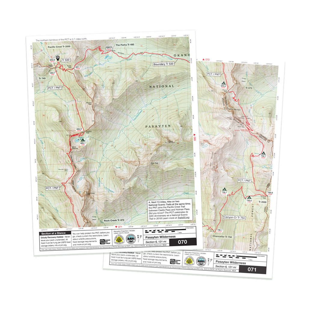
The 2023 edition of our Mapset includes two sets of maps. Download our Strip Maps for viewing or printing on your home computer and take them with you to navigate the PNT in the field. They include crucial new waypoints, updated page notes, and new field-verified track files that show the newest realignments to the trail corridor.
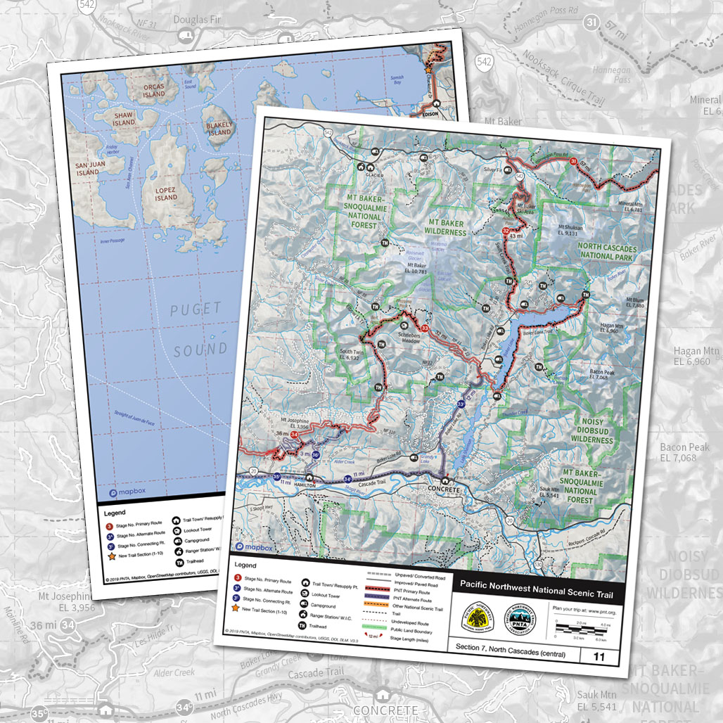
To better help all of our users plan trips on the Pacific Northwest Trail, we have developed a set of new Overview Maps which describe the trail as 50 consecutive stages. These maps are ideal for trip planning and for “choosing your adventure” by exploring the many popular alternate routes along the trail corridor.
Each download includes a quick start guide with elevation profiles, a resupply and permit planners, with mileage between trail towns, and more.
Version 6.0 was released on June 3rd, 2023


